

How to Make an App Like WeatherBug
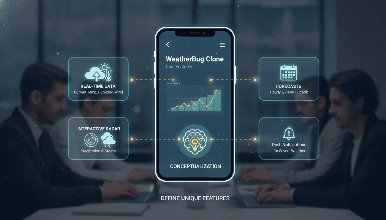
A practical breakdown of the architecture, data pipelines, and API integrations you need to build a weather app with real-time forecasting, hyperlocal accuracy, and the kind of alert system that actually wakes people up at the right moment.
What Does an App Like WeatherBug Actually Do Under the Hood?
WeatherBug is not just a weather display layer on top of an API call. It runs its own network of over 10,000 proprietary weather stations across the United States, blends that data with government sources like NOAA and the National Weather Service, and delivers hyperlocal forecasts down to a specific street. The alert engine is its own system — it handles lightning detection via Earth Networks' Total Lightning Network, which tracks both cloud-to-ground and in-cloud strikes in near real-time.
If you want to build something in the same category, you need to make some early architectural decisions that will determine your entire cost model:
- Do you operate your own sensor network or source all data from third-party APIs?
- What is your minimum acceptable location resolution (1 km grid, 500 m, or point-specific)?
- Do you need proprietary alert types (lightning, air quality, UV index) or only standard NWS-style advisories?
The answers change both your backend architecture and your unit economics significantly.
Which Weather Data Sources Should You Actually Use?
Most serious weather apps use a blend of sources rather than a single provider. Here is how the main options compare:
| Source | Coverage | Update Frequency | Cost Model | Best For |
|---|---|---|---|---|
| OpenWeatherMap | Global | 10 min | Freemium, ~$0.002/call at scale | MVPs, global reach |
| Tomorrow.io (formerly ClimaCell) | Global | 1 min | Subscription + usage | Hyperlocal, microweather |
| The Weather Company (IBM) | Global | 5–15 min | Enterprise contract | Consumer apps at scale |
| NOAA/NWS APIs | USA only | 5 min | Free | US-focused apps |
| Pirate Weather | Global | 1 hour | Pay-per-call | Budget-conscious builds |
For a WeatherBug-class product, Tomorrow.io's microweather data at 500 m resolution is the closest commercially available equivalent to a proprietary station network. You will still want to layer NOAA data on top for official alert text, because users expect the same warning language they hear on TV.
On the radar side, METARs from aviationweather.gov and NEXRAD Level-III data from NOAA give you real-time precipitation. If you want the animated radar tiles that users actually interact with, you either render them yourself from raw NEXRAD or pay for a tile service like RainViewer's API, which covers 190 countries and updates every 10 minutes.
How Do You Architect the Backend for Real-Time Weather Data?
The core challenge is that weather data is high-frequency, geospatially indexed, and read-heavy. Your write path is effectively an ingestion pipeline; your read path serves millions of location-specific queries.
Ingestion Pipeline
Use a message queue (Apache Kafka or AWS Kinesis) between your data source polling workers and your processing layer. Poll each data source on its own cadence. Write raw responses to object storage (S3 or GCS) before any transformation — this is your audit trail and replay buffer.
Processing workers parse, normalise units, and write to two stores:
- A time-series database (TimescaleDB on PostgreSQL or InfluxDB) for historical data queries and chart rendering.
- A geospatial cache (Redis with the RedisGeo module, or PostGIS) for current conditions lookups by lat/long.
Forecast Serving
Forecasts are pre-computed, not generated per request. A background job runs every 15–30 minutes, reads fresh model data, and writes structured forecast objects (hourly for 48 hours, daily for 10 days) into a document store (MongoDB or DynamoDB). The API then reads these pre-computed objects, applying minimal per-request logic like unit conversion or timezone adjustment.
This approach keeps your p99 API latency under 100 ms even at high traffic volumes without running expensive on-the-fly calculations.
Alert Engine
This is the most complex subsystem. Alerts require:
- A geofence store of user locations, indexed for efficient spatial queries (PostGIS
ST_DWithinor a geohash approach in Redis) - A rule engine that evaluates incoming NWS CAP (Common Alerting Protocol) XML feeds against user locations
- A push notification delivery layer (FCM for Android, APNs for iOS)
For lightning specifically, Earth Networks licenses their detection data commercially. If that cost is not justified at your stage, you can approximate strike proximity using the WWLLN (World Wide Lightning Location Network) dataset, though its detection efficiency is around 30% versus Earth Networks' claimed 95%.
/// Not sure where to start?
Get the architecture before you commit
Tell us what you're building and we'll map the technical approach, stack, and rough timeline. No cost, no obligation, no sales call required.
What Does the Mobile App Architecture Look Like?
For a WeatherBug-style app, Flutter is a strong choice if you want a single codebase for iOS and Android without sacrificing native performance. The main UI interactions — animated radar, scrollable hourly forecasts, and background location updates — all have solid Flutter implementations.
The heavier question is background location. Both iOS and Android restrict background location access aggressively now. On iOS, you need the Always location permission, which Apple scrutinises in app review. Your description must clearly justify why you need continuous location access. Most weather apps get through by positioning alerts as a safety feature.
For radar rendering on-device, use Mapbox GL (now MapLibre for the open-source fork) with custom raster tile layers. Animate precipitation by cycling through timestamped tile sets at 500 ms intervals. Cache the last 2–3 hours of radar tiles locally so users can scroll back without a network round-trip.
Background data refresh on mobile should be driven by push notifications (silent pushes trigger a fetch) rather than a polling timer. iOS background fetch is unreliable; Android background tasks with WorkManager are better but still throttled by battery optimisation. Silent pushes give you a reliable trigger from the server side.
How Should You Handle Monetisation and Ads Without Destroying the Experience?
WeatherBug's original monetisation model was ad-supported, which is why it historically had a reputation for aggressive ad placements. If you go the same route, be deliberate about placement.
Banner ads in weather apps have CPMs between $0.50 and $2.00. Interstitials on weather apps perform poorly because users open the app for 8–15 seconds and leave. Rewarded video and native ad formats (MoPub/Pubmatic inventory) generally perform better.
A freemium model with a premium tier (no ads, extended hourly forecast, severe weather SMS alerts) is the more predictable revenue model for a weather app with ambitions beyond advertising. Pricing between $2 and $5 per month is standard in the category; WeatherBug Premium currently sits at $4.99/month in the US.
If you are building for a specific vertical (construction, outdoor events, agriculture), consider a B2B licensing model for your data and alert APIs rather than a consumer monetisation strategy at all.
Conclusion
Building a weather app at WeatherBug's level of capability means solving four distinct engineering problems: data ingestion and normalisation, hyperlocal geospatial indexing, a reliable alert engine, and mobile background behaviour on two OS platforms with very different constraints. None of these is especially exotic on its own, but doing all four well simultaneously is where most teams underestimate the build.
If you are scoping this out, start with the alert engine. It drives the most user value, it is the hardest to get right, and your data source and storage decisions will flow naturally from what that system needs.
FAQ
How much does it cost to build a weather app like WeatherBug? A production-ready weather app with real-time data, radar, and push alerts typically costs between $80,000 and $250,000 to build, depending on team location and whether you licence data or build proprietary ingestion. Ongoing infrastructure and data API costs at scale run $5,000–$20,000 per month.
Which weather API is best for a hyperlocal app? Tomorrow.io provides the best commercially available hyperlocal resolution at around 500 m grid spacing with 1-minute update intervals. For US-only products where official alert language matters, combine it with the free NOAA/NWS CAP feed. Using a single provider rarely gives you the accuracy or reliability you need.
How do weather apps get location in the background on iOS?
They request the Always location permission and use region monitoring or significant location change events to trigger data refreshes. Silent push notifications are the most reliable trigger for a background fetch. Apple requires a genuine user-safety justification for Always location; severe weather alerts satisfy that requirement.
Can you build a weather app without a proprietary sensor network? Yes, and most apps do. You blend third-party API data from sources like Tomorrow.io, NOAA, and RainViewer. The trade-off is that your accuracy in gaps between official stations will be lower than a network like WeatherBug's, and you are dependent on upstream provider uptime. For most products, this trade-off is entirely acceptable.
What database should you use for weather time-series data? TimescaleDB (PostgreSQL extension) is a practical default. It handles time-series queries efficiently, supports geospatial queries via PostGIS, and your team already knows SQL. InfluxDB is faster for pure time-series writes at very high ingest rates but adds operational complexity and a separate query language to learn.
Have a project in mind? Contact Sodio Technologies to discuss your requirements and explore the right technology solution for your business.
/// Work with us
Talk to the engineers who'd build it
You'll get a technical scope, timeline and cost estimate from the people doing the work, not an account manager. In-house team, no subcontracting, since 2016.