

How to Make an App Like The Weather Channel
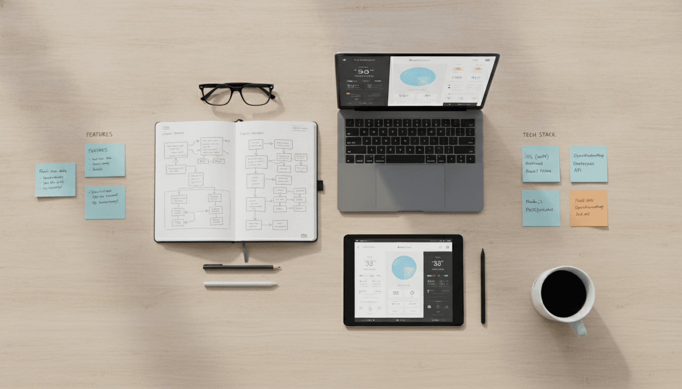
Building a weather app that competes with The Weather Channel means dealing with real-time data pipelines, multi-source API aggregation, hyperlocal forecasting, and a front end that renders meaningfully on a 5-inch screen at 6am. This post breaks down exactly how that system is architected and where the hard engineering decisions live.
What Does an App Like The Weather Channel Actually Do?
The Weather Channel app is not a thin client that proxies an API call. At its core it does six things: ingests raw meteorological data from multiple sources, runs or consumes forecast models, resolves a device's location to a hyperlocal grid point, personalises content based on user behaviour, delivers real-time severe-weather alerts, and renders all of that on iOS, Android, and web simultaneously.
If this is relevant to your project, check out How to Make an App Like AccuWeather.
Each of those is a non-trivial engineering problem. The interesting ones are data ingestion, hyperlocal resolution, and alert delivery. Everything else is software you've built before.
Data Sources You'll Actually Use
You won't run your own weather models. The National Oceanic and Atmospheric Administration (NOAA) runs the Global Forecast System (GFS) at 13km resolution, updated every 6 hours. The European Centre for Medium-Range Weather Forecasts (ECMWF) produces higher-accuracy output but charges for commercial access. IBM's The Weather Company (which owns The Weather Channel brand) runs its own proprietary models on top of these.
For a realistic build, your data layer looks like this:
| Source | Type | Latency | Cost |
|---|---|---|---|
| NOAA GFS | Grid forecast | ~4 hrs behind real-time | Free |
| OpenWeatherMap | Aggregated forecast API | Near real-time | Freemium, ~$180/mo for 1M calls |
| Tomorrow.io | Hyperlocal + proprietary models | Sub-minute | Commercial contract |
| NOAA NWS Alerts | Severe weather CAP alerts | 1–2 min | Free |
| Personal Weather Stations (via Weather Underground) | Observed, point data | Near real-time | API key required |
Most production apps layer at least two of these. You use a grid-based model for the 7-day forecast and a point-observation source for current conditions.
How Does Hyperlocal Forecasting Actually Work?
Hyperlocal means resolving forecast data to a point, not a city polygon. NOAA's High-Resolution Rapid Refresh (HRRV) model runs at 3km resolution and updates hourly. Tomorrow.io's proprietary model claims sub-kilometre resolution in urban areas by fusing PWS data, radar, and satellite imagery.
Your app needs to translate a device's GPS coordinates (latitude/longitude) into the nearest grid point in whichever model you're consuming. For GFS, that's a simple bilinear interpolation across the four nearest grid cells. For HRRV, you query NOAA's weather.gov API directly with lat/lon and get a forecast URL back, which you then fetch.
You may also find our article on How to Make an App Like WeatherPro useful.
The tricky part is caching. A user in a city that's 3km wide doesn't need a unique cache entry per coordinate. You can quantise coordinates to a precision of 2 decimal places (roughly 1.1km at the equator) and share cache hits across nearby users. At 1 million daily active users, that cache hit rate determines whether your bill from Tomorrow.io is $8,000/mo or $80,000/mo.
Alert Delivery Is a Different Problem
Severe weather alerts are time-critical in a way that forecasts are not. NOAA issues CAP (Common Alerting Protocol) XML feeds for the US. The EU uses EFAS and national met office feeds. Australia uses the Bureau of Meteorology's CAP feeds.
You need to:
- Poll or subscribe to these feeds with latency under 2 minutes
- Parse the affected polygon from the CAP XML (not a point, a polygon)
- Resolve which of your users fall inside that polygon at query time
- Push a notification via APNs (iOS) or FCM (Android) within the SLA
The polygon resolution step is where most teams underestimate effort. You're doing point-in-polygon queries across a geospatial index of user last-known locations. PostGIS handles this fine up to a few million users. Beyond that, you're looking at a purpose-built geospatial index like H3 (Uber's hexagonal hierarchical spatial index) or a dedicated service on top of Redis with geospatial commands.
/// Not sure where to start?
Get the architecture before you commit
Tell us what you're building and we'll map the technical approach, stack, and rough timeline. No cost, no obligation, no sales call required.
What Does the Tech Stack Look Like End to End?
There's no single right answer, but here's a stack that holds up under production load:
Ingestion layer: A set of Python workers (asyncio-based) that poll data sources on their respective refresh cycles. NOAA GFS every 6 hours, HRRV every hour, NWS alerts every 90 seconds. Raw data lands in S3 or GCS as Parquet files, or in a time-series store like InfluxDB if you need sub-minute granularity.
Processing layer: Apache Kafka for the alert pipeline because you need guaranteed delivery and replay capability. For forecast data, a batch processing job (Apache Spark or even a well-written pandas pipeline for modest scale) that pre-computes per-grid-point forecasts and writes them to a read cache.
API layer: A Go or Node.js service that handles the hot path: receive coordinates, quantise, check Redis cache, miss on cache means query the forecast database, return JSON. p99 latency target should be under 200ms. A Python FastAPI service is fine for lower-traffic endpoints.
Mobile: React Native gets you cross-platform coverage with one codebase, but weather apps are animation-heavy. Radar maps, animated precipitation overlays, and smooth transitions matter. If you find React Native's animation performance limiting, you'll reach for Flutter or native (Swift/Kotlin). Radar tile rendering is almost always done via a WebView with Mapbox GL JS or Leaflet, regardless of which native framework you use.
Push notifications: Firebase Cloud Messaging for Android, APNs for iOS. For alert delivery, you want a queue between your alert processor and your push service so that a spike in simultaneous alerts (tornado warning across a metro area) doesn't overload your push throughput.
Radar and Satellite Tile Rendering
NEXRAD radar data from NOAA comes as Level II/III binary files. Processing these into map tiles is not trivial. Most production apps either buy rendered tiles from a vendor (Aeris Weather, RainViewer) or run an open-source pipeline like wdtd (Weather Data Tile Daemon) on their own infrastructure. RainViewer's API provides animated global radar tiles with a 5-minute update cycle and is priced per tile request, making it cost-effective for apps under about 500k MAU.
Monetisation and the Data Cost Reality
Weather app economics are uncomfortable. Data costs are high, and users expect the app to be free. The Weather Channel app runs display advertising and a premium tier ("Weather Channel Premium") that removes ads and adds features like 15-day forecasts and minute-by-minute precipitation.
To explore this further, see How to Make an App Like WeatherBug.
Realistic data cost estimates for a 1 million MAU app: Tomorrow.io at commercial scale is roughly $0.005 to $0.02 per API call depending on volume commitment. If each active user generates 10 API calls per day, that's $50,000 to $200,000 per month in data costs alone, before infrastructure.
The only paths to unit economics that work are aggressive caching, a freemium model with meaningful paid features, or B2B licensing of your data layer to other apps or enterprises (energy companies, logistics firms, and insurers pay well for weather data).
Conclusion
Building a weather app at The Weather Channel's scale is a data engineering problem first and a mobile problem second. Get your ingestion, caching, and alert pipeline right before you spend time on the UI.
The first concrete step is choosing your data source stack and estimating your API call volume at your target MAU. Run that number against the pricing tiers of Tomorrow.io, OpenWeatherMap, and Aeris before writing a line of application code. That exercise will either validate your model or force a rethink before you're committed.
If you want to talk through the architecture for your specific use case, Sodio has built data-intensive mobile platforms across fintech, logistics, and consumer apps. Get in touch.
FAQ
How long does it take to build a weather app like The Weather Channel? An MVP with current conditions, a 7-day forecast, and push alerts for severe weather takes roughly 4 to 6 months with a team of 4 to 5 engineers. A full-featured app with radar, animated overlays, personalisation, and a monetisation layer is a 12 to 18 month build.
What API should I use for weather data in my app? OpenWeatherMap is the standard starting point for early-stage builds because of its freemium tier and straightforward REST API. For production apps that need hyperlocal accuracy or proprietary model data, Tomorrow.io and Aeris Weather are the two most commonly used commercial options. NOAA's free APIs are viable but require more integration effort.
Can I build a weather app without paying for data? You can build a functional app using only free sources: NOAA GFS forecasts, NOAA NWS alerts, and Open-Meteo (a free, open-source forecast API based on open-data models). The trade-off is lower hyperlocal accuracy, no commercial SLA, and some additional integration work. For a consumer app at scale, you'll eventually need at least one paid source.
What is the hardest technical problem in building a weather app? Geospatial alert delivery at scale. Getting a severe weather push notification to every user inside an irregular polygon within 2 minutes, reliably, across millions of users, is harder than it sounds. The polygon resolution, geospatial indexing, and push throughput problems all interact with each other under load.
Do I need to run my own weather models? Almost certainly not. Numerical weather prediction models like GFS require supercomputing infrastructure and teams of atmospheric scientists to operate. Even The Weather Channel, with its IBM backing, runs its models on top of public model outputs. For any commercial app, consuming model output via API is the correct approach.
Have a project in mind? Contact Sodio Technologies to discuss your requirements and explore the right technology solution for your business.
/// Work with us
Talk to the engineers who'd build it
You'll get a technical scope, timeline and cost estimate from the people doing the work, not an account manager. In-house team, no subcontracting, since 2016.