

Urban Planning and Smart City Solutions: Improving City Living
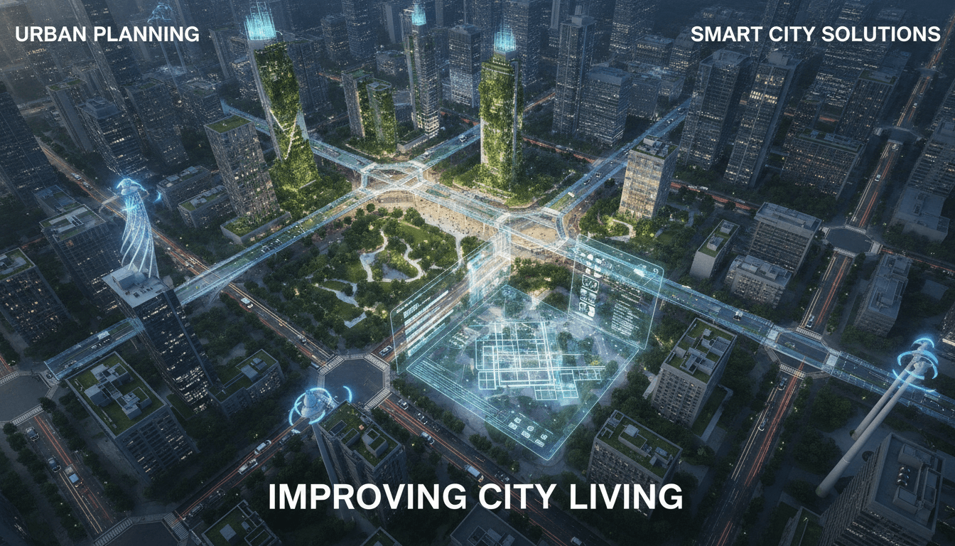
Smart cities are no longer a concept on a whiteboard. Municipalities across the world are deploying sensor networks, real-time data pipelines, and AI-driven decision systems at scale. The engineering challenges are substantial, and the decisions made early in the architecture phase tend to compound quickly, for better or worse.
This post covers the technical building blocks of urban intelligence systems: what works, what creates lock-in, and where the common failure modes are.
What Does a Smart City System Actually Look Like Under the Hood?
The marketing version shows a single dashboard with a glowing city map. The real version is a distributed system stitching together dozens of heterogeneous data sources, legacy municipal software, real-time event streams, and multiple agencies with incompatible data governance policies.
At the lowest layer, you have edge devices: embedded sensors measuring air quality (PM2.5, NO2, CO), traffic flow via inductive loops or LiDAR, structural health of bridges and tunnels, and energy consumption at the grid edge. These typically run on constrained hardware, so protocols like MQTT over LTE-M or LoRaWAN are standard. LoRaWAN operates in the 868 MHz band in India and Europe, with a typical range of 2–5 km in urban environments and a payload limit of 51–242 bytes per uplink, depending on the data rate. That constraint shapes everything upstream.
Above the edge layer sits a message broker, usually Apache Kafka or EMQX, handling millions of events per hour. Time-series storage is almost always InfluxDB or TimescaleDB (a PostgreSQL extension), with retention policies and continuous aggregates doing the heavy lifting for dashboards and anomaly detection.
The application layer is where most of the complexity lives: routing engines for emergency vehicles, predictive maintenance models for water distribution networks, and demand-response systems for electricity grids.
The Integration Problem Nobody Warns You About
Most smart city projects don't fail because of sensor hardware or ML models. They fail at integration. Municipal systems often run on Oracle E-Business Suite, SAP ERP, or bespoke COBOL-era mainframes. Getting real-time sensor data to inform decisions in a system that batches overnight is a genuine architectural challenge.
The practical approach is an event-driven architecture with a well-defined integration boundary. The legacy system stays as the system of record; a change data capture (CDC) layer using tools like Debezium extracts state changes and feeds them into the event stream. This avoids a full rip-and-replace and keeps the municipality's existing audit trails intact.
How Do You Design for Privacy at the City Scale?
When you're collecting data from millions of residents, privacy isn't a compliance checkbox. It's an architectural constraint that needs to be in the design from the start, not retrofitted.
The key principles that translate into engineering decisions:
- Data minimisation by design. If the use case is traffic flow, you don't need individual vehicle identification. Aggregate at the edge before transmission. A Raspberry Pi 4 running OpenCV can count vehicles and classify them by type without ever sending an image upstream.
- Differential privacy for aggregate reporting. Apple and Google both use differential privacy in production analytics. The mechanism adds calibrated noise to aggregate statistics so individual data points can't be reverse-engineered. The privacy budget (epsilon) is a tunable parameter; setting it correctly is domain-specific.
- Data residency and sovereignty. In India, the Digital Personal Data Protection Act 2023 imposes obligations on how personal data is processed and stored. Architecture decisions about cloud regions, cross-border data transfers, and data retention periods all need to be made with this in mind from day one.
- Federated learning for model training. Instead of centralising raw sensor data for ML training, federated learning trains models locally on edge nodes and only shares model weight updates. This is especially relevant for systems touching health or behaviour data.
Anonymisation is not a silver bullet. Research has repeatedly shown that location data anonymised at the individual trip level can be re-identified with relatively few data points. Aggregate, not anonymise, wherever the use case allows it.
/// Not sure where to start?
Get the architecture before you commit
Tell us what you're building and we'll map the technical approach, stack, and rough timeline. No cost, no obligation, no sales call required.
Traffic and Mobility: Where the ROI Is Clearest
Traffic management is the most mature smart city domain. The data sources are well-understood, the latency requirements are achievable with current hardware, and the outcomes are measurable.
A standard adaptive traffic control system works roughly like this:
- Inductive loop sensors or radar units at intersections feed vehicle counts and speeds into an edge controller.
- The controller runs a signal optimisation algorithm, typically a variant of SCOOT (Split Cycle Offset Optimisation Technique) or SCATS (Sydney Coordinated Adaptive Traffic System), adjusting signal phase timings in 5-second cycles.
- Aggregate data flows to a central platform for city-wide coordination and incident detection.
Cities using adaptive signal control have reported fuel consumption reductions of around 10–15% on arterial roads and journey time improvements of 8–12%, according to Transport for London's published evaluations. The variance depends heavily on network density and whether the system covers enough of the road network to have a coordinated effect.
Emergency Vehicle Preemption
A related problem: emergency vehicle response times. Preemption systems use GPS tracking on ambulances and fire trucks to push green phases ahead of the vehicle's route in real time. The Opticom system by GTT is widely deployed in the US; similar implementations exist across European cities. Latency from vehicle position to signal change needs to be under 300ms for the system to be useful in dense urban grids.
Energy Grids and Demand Response at the Neighbourhood Level
Smart grid integration is where the physics and the software get interesting simultaneously.
Distribution-level grids are increasingly bidirectional. Rooftop solar, battery storage (home systems like Tesla Powerwall or commercial BESS installations), and EV charging loads all create variability that traditional grid management wasn't designed for. A neighbourhood with high solar penetration can produce more power mid-day than it consumes, reversing flow on feeders designed for unidirectional current.
The software layer here runs demand response programmes: signals sent to enrolled devices (HVAC systems, EV chargers, industrial loads) to shed or shift consumption during peak periods. OpenADR 2.0 is the dominant protocol for this signalling. It's an XML-based standard, which is verbose, but it's well-supported and has a mature compliance certification programme.
Forecasting is central to grid stability. Gradient boosting models (XGBoost, LightGBM) trained on historical consumption data, weather forecasts, and calendar features typically outperform ARIMA-class models for short-term load forecasting at the distribution level. Facebook's Prophet library is reasonable for longer-range planning but not for sub-hourly operational forecasting.
What Are the Real Risks of Building City Infrastructure on Cloud Platforms?
This is a question that doesn't get asked enough until a contract renewal comes up.
The operational risks of building urban infrastructure on a single cloud provider are genuine:
| Risk | Implication |
|---|---|
| Vendor lock-in | Proprietary IoT services (AWS IoT Core, Azure IoT Hub) make migration expensive |
| Egress costs | Millions of sensor events per day generate significant data transfer costs |
| Availability SLAs | Most providers offer 99.9% SLA on managed services, meaning up to 8.7 hours downtime per year |
| Data sovereignty | Multi-region deployments complicate compliance with data localisation requirements |
A hybrid architecture is worth the operational overhead for city-scale systems. Keep the real-time control plane on-premises or at a co-location facility with guaranteed uptime, and use cloud for batch analytics, model training, and archival storage. This keeps the critical path off public internet dependencies.
Open standards matter here. Building on FIWARE NGSI-LD for context data (it's a W3C-aligned standard for linked data in IoT) gives you a degree of portability that proprietary platforms don't. Several European smart city programmes mandate NGSI-LD compatibility precisely for this reason.
Conclusion
The gap between a smart city pilot and a system that runs reliably at city scale is mostly an engineering and governance problem, not a technology problem. The sensors, protocols, and ML tooling are mature enough. What requires sustained investment is the integration layer, the data governance framework, and the operational discipline to maintain a distributed system across multiple municipal agencies.
If you're evaluating this space, the most useful first step is a data audit: what exists, who owns it, what format it's in, and what it would take to make it available in real time. That audit will tell you more about your actual starting point than any vendor demo.
FAQ
What connectivity protocol is best for smart city sensors? It depends on payload size and range requirements. LoRaWAN suits low-bandwidth, long-range sensors like environmental monitors. NB-IoT offers better coverage indoors and supports larger payloads. For high-throughput use cases like video analytics, LTE or 5G NR is necessary. Many deployments run multiple protocols simultaneously across different use-case layers.
How much does it cost to deploy a city-scale sensor network? Costs vary significantly by city density and use case mix. A rough benchmark for a mid-size city traffic management deployment is USD 5,000–15,000 per intersection, including hardware, installation, and integration. Ongoing operational costs for connectivity and platform management typically run 15–25% of capital expenditure annually.
Can existing municipal IT systems integrate with smart city platforms? Yes, but it requires deliberate integration design. Change data capture tools like Debezium can extract data from legacy databases without modifying them. API gateways and event buses can bridge batch-oriented systems with real-time pipelines. The integration effort is usually the longest phase of any smart city programme.
Is open-source software production-ready for city infrastructure? For the data and integration layer, yes. Apache Kafka, TimescaleDB, and Grafana are all running in critical infrastructure globally. For control systems that directly actuate physical infrastructure, commercial certified systems are usually preferable, not because open-source is less capable, but because certified systems carry liability and support structures that matter in public sector procurement.
What's the biggest technical mistake in smart city projects? Centralising too much too early. Pushing raw data from thousands of sensors to a central platform before understanding what decisions that data will actually inform creates cost, latency, and privacy problems. Process at the edge, aggregate intelligently, and only move data that has a defined use case at the destination.
Have a project in mind? Contact Sodio Technologies to discuss your requirements and explore the right technology solution for your business.
/// Work with us
Talk to the engineers who'd build it
You'll get a technical scope, timeline and cost estimate from the people doing the work, not an account manager. In-house team, no subcontracting, since 2016.