

How to Make an App Like AccuWeather
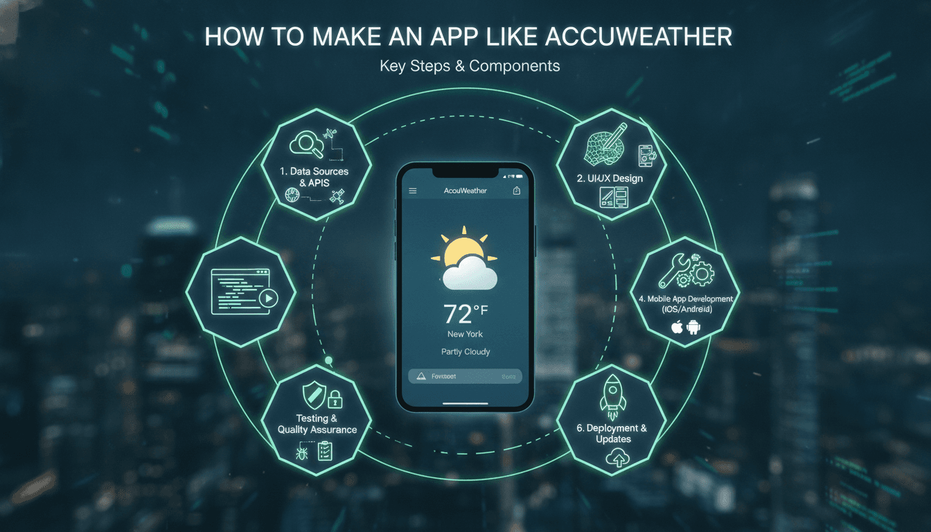
Building a weather app that competes with AccuWeather means dealing with data pipelines, third-party API contracts, location services, and UI rendering — all at the same time. This post walks through the architecture decisions that actually matter.
What Does an App Like AccuWeather Actually Do Under the Hood?
AccuWeather is not a weather data generator. It is an aggregation and presentation layer on top of meteorological data sources — the same data that national agencies like NOAA, the UK Met Office, and the European Centre for Medium-Range Weather Forecasts (ECMWF) publish. The app's value comes from how it processes, interpolates, and presents that data, not from owning weather stations.
That distinction matters for your architecture. You are building a data consumer, a processing layer, and a client — not a sensor network.
Data Sources You Will Actually Use
The three most commonly integrated sources are:
- OpenWeatherMap — good global coverage, free tier up to 1,000 calls/day, paid plans from $40/month
- Tomorrow.io — offers hyperlocal forecasts via proprietary ML models, better for urban micro-climates
- ECMWF Open Data — free, high-accuracy global model output, but raw GRIB2 format requires parsing work
Most production apps use two sources and reconcile them. A single-source architecture creates hard dependencies. If Tomorrow.io has an outage, your app goes down with it.
What Tech Stack Should You Build On?
The stack choice depends on your target platforms and your data pipeline complexity.
Backend
A Python backend makes sense here. The scientific Python ecosystem (NumPy, xarray, cfgrib) handles meteorological data formats natively. FastAPI works well as the API layer. For background jobs — fetching, parsing, caching forecast data — Celery with Redis is a standard combination.
Your backend does the following on a schedule:
- Pulls raw forecast data from your chosen providers
- Parses and normalises it into a consistent internal schema
- Stores processed forecasts in a time-series database (TimescaleDB on top of PostgreSQL is a solid choice)
- Exposes clean REST or GraphQL endpoints to your mobile and web clients
Store raw responses too. Debugging forecast accuracy issues is nearly impossible without the original payloads.
Mobile
React Native is a reasonable choice if you want a single codebase for iOS and Android. Flutter is the alternative — it gives you finer control over custom rendering, which matters if you want animated radar overlays or gradient sky backgrounds that match current conditions.
Native (Swift/Kotlin) is the right call only if you need deep OS integration — lock screen widgets on iOS 16+ (WidgetKit), Android Dynamic Colour theming under Material You, or background location updates with tight battery constraints. Native costs roughly 1.5–2x the development time.
Location Services
Use CLLocationManager on iOS and the Fused Location Provider API on Android. Request "when in use" location permissions first. Asking for "always on" up front causes most users to deny and never grant it again.
Reverse geocoding (converting coordinates to a human-readable place name) can be done via the Google Maps Geocoding API or, cheaper at scale, via Nominatim (OpenStreetMap's geocoder, free but rate-limited to 1 request/second for public use).
How Do You Handle Caching Without Serving Stale Data?
Weather data has a short useful life. A 1-hour-old "current conditions" response is wrong. A 6-hour-old hourly forecast may be misleading.
Set TTLs based on data type:
| Data Type | Recommended TTL |
|---|---|
| Current conditions | 10 minutes |
| Hourly forecast (next 48h) | 1 hour |
| Daily forecast (next 7 days) | 3 hours |
| Radar imagery | 5 minutes |
| Air quality index | 30 minutes |
Use Redis for the fast cache layer. Key by location (geohash at precision 6 gives ~1.2km cells, which is a reasonable unit for weather data) and data type.
On the client side, serve cached data immediately on app open, then trigger a background refresh. A blank loading screen while fetching is unnecessary and feels broken.
/// Not sure where to start?
Get the architecture before you commit
Tell us what you're building and we'll map the technical approach, stack, and rough timeline. No cost, no obligation, no sales call required.
Radar and Maps: The Feature That Actually Differentiates
Text forecasts are a commodity. Radar overlays are not trivial to build.
RainViewer offers a ready-made radar tile API — tiles in standard XYZ format, compatible with Mapbox GL JS, Google Maps SDK, or Leaflet. The free tier covers most MVP use cases. You overlay these tiles on a base map and animate through the last 2 hours of radar frames (RainViewer provides timestamps for each available frame).
For wind visualisation (the kind you see on Windy.com), you need vector field data from your forecast provider and a particle animation engine. Leaflet-velocity is an open-source library that handles this, but it needs wind U and V component data in a specific JSON format. Budget time to write the conversion layer from whatever your provider returns.
Push Notifications for Severe Alerts
Weather alerts are issued by national meteorological services in CAP (Common Alerting Protocol) XML format. NOAA publishes CAP feeds for the US. The WMO maintains a global CAP registry.
Parse these feeds on your backend, match alerts to subscribed users by geofence, and send via Firebase Cloud Messaging (FCM) for Android and APNs for iOS. Keep the geofence logic server-side. Client-side geofencing with background location is battery-expensive and unreliable.
How Much Does It Cost to Build and Run?
Development cost varies widely. A basic app with current conditions, a 7-day forecast, and location detection takes 8–12 weeks with a team of two engineers. A full-featured app with radar, severe weather alerts, widgets, and a personalisation layer is a 6–9 month project.
Ongoing infrastructure costs at modest scale (50,000 monthly active users):
| Item | Estimated Monthly Cost |
|---|---|
| Weather API (Tomorrow.io Growth plan) | ~$200 |
| AWS EC2 + RDS (t3.medium instances) | ~$150 |
| Redis Cloud (1GB) | ~$30 |
| FCM/APNs | Free |
| Mapbox map tiles | ~$50 |
You will spend more on weather data than on compute. That ratio holds as you scale.
Conclusion
The architecture for a weather app is not especially exotic. The complexity is in the details: API contract management, cache invalidation at the right granularity, handling location permissions gracefully across OS versions, and building radar visualisation that does not drain the battery.
Start with one data source, one platform, and a simple cached REST API. Validate that users care about your specific angle — hyperlocal accuracy, severe weather focus, agricultural use case — before building the full stack.
If you want a technical review of your architecture or help scoping out the build, Sodio has done this kind of work. Reach out with your requirements and we will give you a straight answer on what is realistic.
FAQ
How long does it take to build a weather app like AccuWeather? A basic version with current conditions, hourly and daily forecasts, and GPS-based location takes 8–12 weeks with two engineers. Adding radar overlays, push alerts for severe weather, and home screen widgets roughly doubles that timeline. Plan for 5–6 months minimum for a production-quality app.
Do I need to build my own weather data infrastructure? No. Almost all commercial weather apps consume data from third-party providers like OpenWeatherMap, Tomorrow.io, or ECMWF. Building proprietary data infrastructure requires owning or licensing sensor networks, which is outside scope for most product teams. Your value-add is in processing and presentation.
What is the cheapest way to get weather data for an MVP? OpenWeatherMap's free tier gives you 1,000 API calls per day, which covers a small user base. ECMWF Open Data is free with no call limits but requires you to parse GRIB2 binary format yourself, which has an upfront engineering cost. For an MVP, OpenWeatherMap is the faster path.
How do I handle users who deny location permissions? Fall back to manual city search using a geocoding API. Store the last known location in your app's local storage so returning users do not have to search again. Never block core functionality behind a location permission — users who deny it should still get a functional app.
What is the hardest part of building a weather app? Radar animation is technically the most involved feature. Fetching and caching forecast text is straightforward. But rendering animated radar tiles smoothly, handling frame timing, and overlaying them correctly on a moving map requires careful state management. Budget extra time there if it is on your feature list.
Have a project in mind? Contact Sodio Technologies to discuss your requirements and explore the right technology solution for your business.
/// Work with us
Talk to the engineers who'd build it
You'll get a technical scope, timeline and cost estimate from the people doing the work, not an account manager. In-house team, no subcontracting, since 2016.